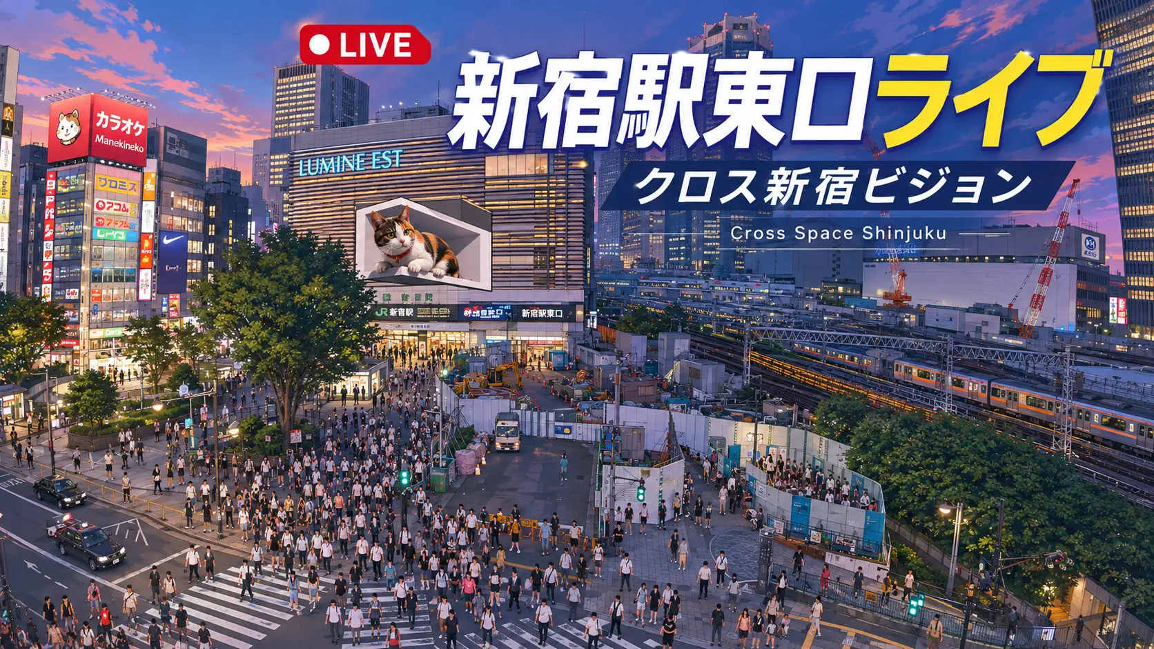
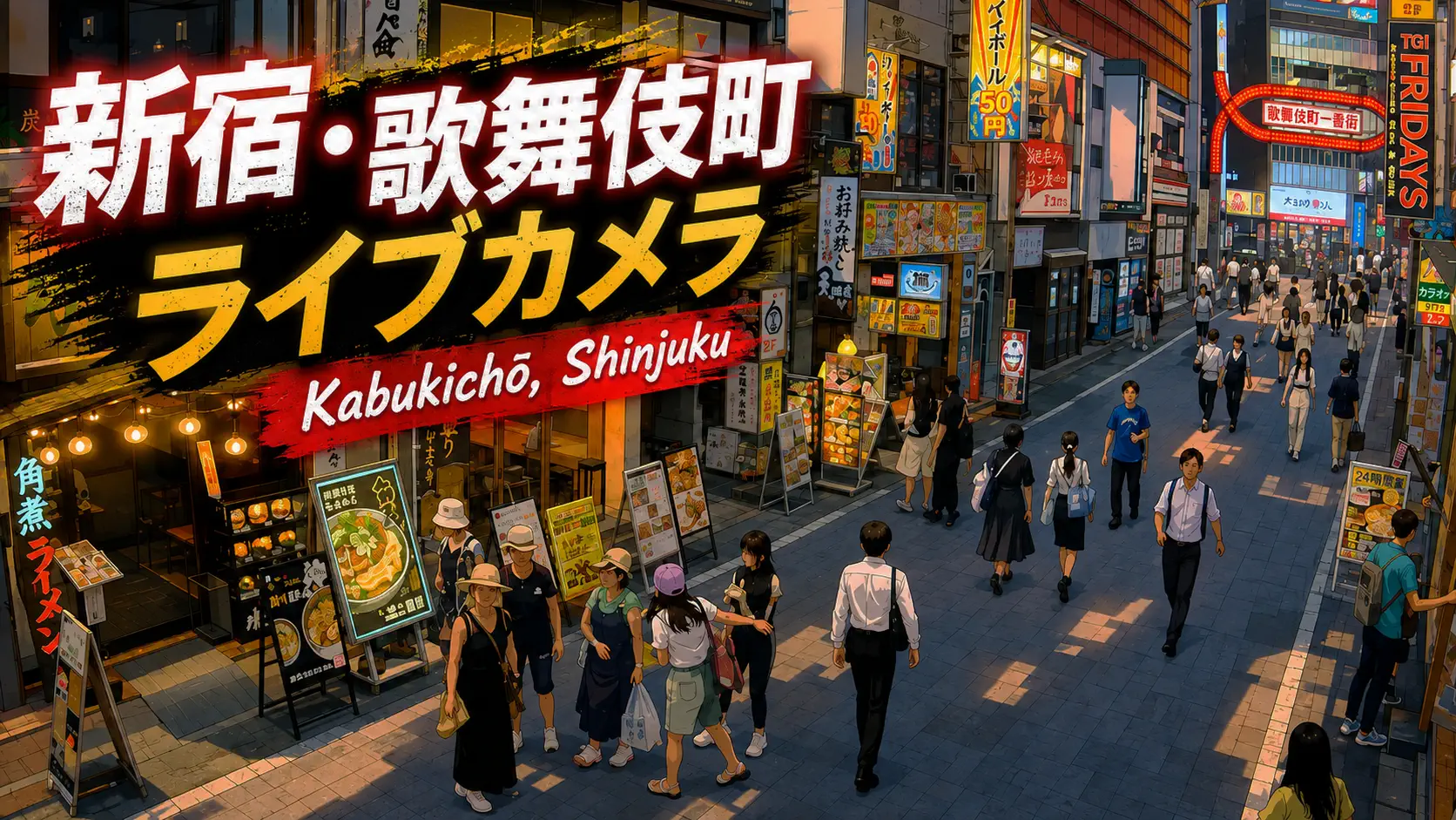
If Tokyo were a circulatory system, Shinjuku Station would be the organ textbooks argue about. Guinness World Records cites an average of 2.7 million passengers per day (2022 figure) — down from pre-pandemic peaks near 3.5 million, yet still far ahead of any other station on Earth. This live camera watches the South Exit side along Koshu Kaido (甲州街道), the elevated street world above JR platforms where buses, department stores, and disoriented first-timers collide. It is not the neon alley of Kabukichō, not the 3D cat billboard at Cross Space Shinjuku East Exit, and not the track-level drama of the JR live rail cam — it is Shinjuku as shopping-and-transfer boulevard.
About This Live Camera
The stream looks out onto Koshu Kaido near Shinjuku Station South Exit, Shinjuku Ward, Tokyo. Expect pedestrian rivers, taxi queues, long-distance highway buses departing Busta Shinjuku, and the vertical mass of Takashimaya Times Square and adjacent retail complexes. South Exit areas sit above ground, unlike the East/West underground exit labyrinths — a key orientation detail when comparing other Shinjuku feeds.
Daylight shows commuter suits and tourist luggage; night brings izakaya-bound groups and illuminated signage. Weather and broadcaster maintenance affect uptime; rain increases umbrella density and reflective asphalt glare.
What You Can See
Koshu Kaido traffic — cars, buses, cyclists — runs parallel to station architecture. Pedestrians surge at signal changes linking South, Southeast, and New South Exit zones. You may glimpse Takashimaya Times Square, Shinjuku Expressway Bus Terminal activity, and direction signs pointing toward Kabukichō (northwest) and Shinjuku Gyoen (south).
Unlike the Shinjuku JR livecam, you will not see continuous train movement on tracks; unlike Cross Space Shinjuku, you will not see the East Exit scramble or Cross Shinjuku Vision calico cat screen. This is the south-side street economy — retail, buses, and the visible layer of the world’s busiest station.
Location
Shinjuku Ward, Tokyo, at approximately 35.6893°N, 139.6984°E. Shinjuku Station straddles the Shinjuku–Shibuya ward boundary, but this camera’s South Exit context is firmly in Shinjuku Ward’s commercial core.
Major neighbors: Kabukichō entertainment district (short walk northwest), Omoide Yokocho and Golden Gai (west side, different exit strategy), Shinjuku Gyoen National Garden (south), and Metropolitan Government Building twin towers (west). Correct a common source error: the station serves Shinjuku, not “Shibuya ward” — though the rail complex touches ward borders.
History
Shinjuku began as a post station on the Koshu Kaido highway during the Edo period, then exploded as a rail hub when multiple private lines terminated here in the twentieth century. Postwar reconstruction stacked department stores, underground malls, and office towers atop rail infrastructure until navigation became a skill.
Takashimaya Times Square (1996) consolidated shopping, cinema, and bus terminals into a single south-side gravity well. Busta Shinjuku (2016) modernized highway bus departures, reinforcing the South Exit as a gateway for travelers beyond Tokyo — Mount Fuji routes, Nagano ski country, and overnight buses to Osaka.
Guinness recognition formalized what commuters already felt: Shinjuku is not merely big; it is statistically unmatched.
Why Watch
Because numbers that large become visible only as street behavior — the micro-pauses, wrong-side-of-Koshu-Kaido realizations, and bus-lane choreography. Because Shinjuku is Tokyo’s default “where do I meet you?” problem rendered as live video. Because comparing this south-side feed with East Exit, JR track, and Kabukichō cameras teaches how one station name hides multiple cities.
Daily Life
Weekday mornings: commuter velocity toward office towers and subway transfers. Midday: shopping traffic for Takashimaya and electronics corridors. Evening: entertainment district bleed from Kabukichō, dinner queues, cinema crowds. Late night: taxis dominate; last-train surges around 00:30 on weekends.
Seasonal patterns include year-end shopping, Golden Week tourism luggage, and rainy season transparent umbrellas threading the frame. Setsubun and New Year shrine-bound crowds occasionally visible in south-side directionality even when rituals happen elsewhere — Shinjuku remains a vector field for the entire west Tokyo commuter shed.
Best Time of Day
- Weekday morning rush (07:30–09:00): peak commuter density.
- Weekday evening (17:30–19:30): return wave plus entertainment prep.
- Saturday afternoon: shopping and bus terminal activity.
- After 22:00: thinner crowds, more taxi motion — closer to “Sleepless Town” adjacency.
Avoid comparing a quiet Sunday morning with a Friday evening — they are different stations psychologically.
Best Seasons
Spring and autumn offer comfortable walking weather and clear video. Summer heat haze and bon festival travel increase bus and luggage volume. Winter brings crisp air and year-end illumination season around south-side retail. Typhoon rain can empty Koshu Kaido surprisingly fast — useful contrast for watchers studying crowd elasticity.
Events
Shinjuku Festival and ward events occasionally affect street closures. Halloween and New Year periods bring crowd-control lessons learned citywide. Cinema premieres at Times Square, concert nights at LOFT / BLAZE, and political campaigning seasons add pop-up density. Highway bus holiday peaks (Obon, Golden Week) visibly queue the terminal area.
Getting There
Ride JR Yamanote, Chuo, Saikyo, or Shonan-Shinjuku lines to Shinjuku Station, follow signs to South Exit / Minami-guchi. Odakyu Odawara Line and Keio Line terminals connect via underground passageways — allow extra time. Toei Shinjuku and Oedo lines, Marunouchi subway: follow color-coded signage; emerging at the wrong exit is a rite of passage.
From South Exit, Koshu Kaido runs east–west; crossing it without noticing separates you from your intended bus gate. Busta Shinjuku sits integrated with Times Square levels.
Interesting Facts
- Guinness World Records recognized Shinjuku as the world’s busiest station with 2,704,703 average daily passengers in 2022.
- Pre-pandemic counts approached 3.5 million daily — comparable to a major city’s entire population passing through one roof.
- The station integrates JR East, Odakyu, Keio, Tokyo Metro, and Toei lines — over 200 exits in the broader complex counting connected terminals.
- Koshu Kaido is a historic highway name surviving as a modern urban artery.
- South Exit is above ground; East and West exits are largely underground — orientation matters.
- Kabukichō is nearby but not visible in this south-Koshu Kaido framing — use the Kabukichō cam for neon alleys.
Navigating Shinjuku by Remote Camera
Watch for the moment crowds stall — often a signal cycle or a bus gate opening. Notice suitcase direction: eastbound toward airport buses, south toward Gyoen tourists, northwest toward Kabukichō nightlife. Compare umbrella behavior in rain with Cross Space Shinjuku on the same evening; south-side retail crowds move differently from east-side scramble tourists hunting the 3D cat.
If you plan a transfer, study one full ten-minute clip at your intended arrival hour. Shinjuku punishes assumptions; the camera is cheaper than a wrong exit taxi.
Department-store calendar cues appear in shopping bag color and volume — fukubukuro lucky bags in January, gift-wrapped stacks in December, student fashion clusters when sales end on Times Square floors you cannot see directly but infer from bag shapes at street level. Bus lane pauses often precede departure boards flipping at Busta; watch for queue snakes forming ten minutes before highway coaches leave for Kawaguchiko, Nagano, or Osaka overnight routes. Those pauses are how south Shinjuku reveals itself as a gateway beyond Tokyo, not only a destination inside it.
South Exit Versus Other Shinjuku Feeds
| Feed | What it emphasizes |
|---|---|
| Shinjuku Station Cam (this page) | Koshu Kaido, South Exit, buses, Takashimaya side |
| Shinjuku JR Livecam | Train tracks + Omoide Yokocho alley edge |
| Cross Space Shinjuku | East Exit scramble + Cross Shinjuku Vision cat |
| Kabukichō cam | Entertainment district neon and Ichiban-gai arch |
Same ward, four moods — pick the feed matching your question. First-time visitors often conflate them because maps label everything “Shinjuku Station.” Remote watching separates retail south, rail west, spectacle east, and nightlife north before your feet do. Save screenshots from two feeds at the same timestamp — you will never again believe Shinjuku is one place.
Nearby Live Cameras
Watch trains and yakitori smoke near Tokyo Shinjuku JR Live, catch the East Exit calico cat at Cross Space Shinjuku, or dive into neon alleys at Kabukichō, Shinjuku.
Frequently Asked Questions
Is this the same as the Shinjuku JR live rail camera?
No. The JR livecam shows train tracks and the Omoide Yokocho alley margin. This feed shows Koshu Kaido street at the South Exit.
Is Kabukichō visible here?
Generally no — Kabukichō lies northwest toward a different exit cluster. Use the dedicated Kabukichō camera for that district.
How busy is Shinjuku Station really?
Guinness cites ~2.7 million daily passengers (2022 average). Visual peak hours exceed off-peak dramatically.
Which exit is this camera near?
South Exit (Minami-guchi) along Koshu Kaido, not East or West underground exits.
Is Shinjuku in Shibuya ward?
The station complex touches Shinjuku and Shibuya ward borders, but Shinjuku Station’s identity and this South Exit view are centered in Shinjuku Ward.
Can I see highway buses?
Yes — Busta Shinjuku and Koshu Kaido bus activity are part of the south-side visual story, especially daytime and holiday peaks.