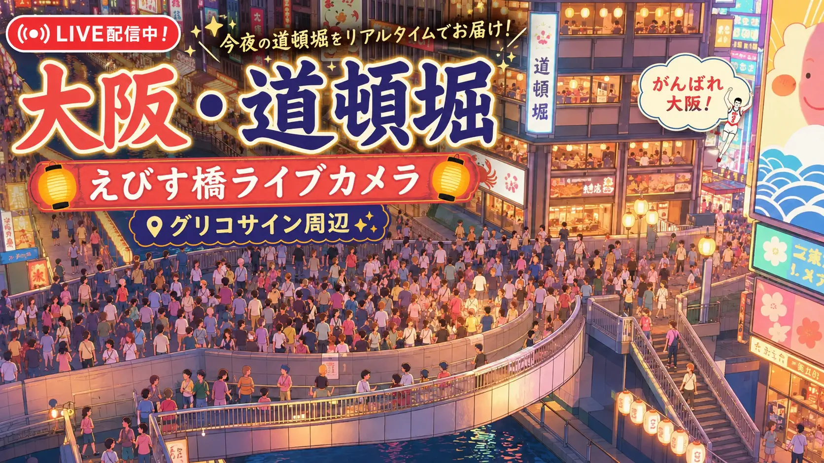
Osaka jokes about Tokyo’s politeness, then builds a shopping district on top of a filled-in canal and dares you to find the water anyway. Shinsaibashi (心斎橋) is that dare made permanent: a name that once meant Shinsai Okada’s bridge over the Nagahori-gawa canal now denotes a whole retail universe along Nagahori-dori and the covered Shinsaibashisuji arcade. This live camera watches the Nagahori-dori crossing near Shinsaibashi Station — traffic, pedestrians, neon after dark, and the invisible CRYSTA Nagahori underground mall pulsing beneath the asphalt. It is Osaka’s middle chapter between Umeda business gravity and Dotonbori neon hunger.
About This Live Camera
The stream frames the pedestrian crossing at Nagahori-dori and the Shinsaibashi intersection, steps from Shinsaibashi Station on Osaka Metro’s Midosuji and Nagahori Tsurumi-ryokuchi lines. Expect steady vehicle flow, signal-cycle pedestrian batches, department-store-bound foot traffic, and evening sign illumination. The vantage emphasizes street-level commerce — not the Glico billboard (that’s Dotonbori), not Umeda’s Hankyu deck maze (that’s Kitahama/Umeda feeds).
Coordinates 34.6745°N, 135.5003°E sit in Chuo Ward, central Osaka. Stream uptime varies with broadcaster maintenance; rain produces Osaka’s characteristic wet-neon reflections.
What You Can See
Traffic on Nagahori-dori moves through multi-lane geometry with taxis, city buses, and delivery scooters threading signals. Pedestrians shift between surface crossing and arcade entrances toward Shinsaibashisuji — one of Japan’s longest-established covered shopping streets, roughly 600 meters in its best-known southern segment.
Look for restored stone railings and gas lamps embedded in the median — fragments of the 1909 stone arch bridge nicknamed “Glasses Bridge” (眼鏡橋) for its twin arches. Below ground, CRYSTA Nagahori skylights and entrance stairs hint at the underground mall built during 1997 long-bore redevelopment when the canal was already buried.
Night brings neon and LED signage, restaurant queue spillover, and youth fashion clusters heading toward Amerikamura (American Village) west of Mido-suji.
Location
Chuo Ward, Osaka City, Osaka Prefecture — central Minami (south) district, one block east of Mido-suji boulevard. Shinsaibashi Station anchors the intersection; Yotsubashi Station serves nearby Horie and Amerikamura approaches.
North along Shinsaibashisuji leads toward Nagahori and Sakaisuji; south descends toward Dotonbori and Namba. The camera sits where canal history, subway lines, and arcade commerce overlap.
History
In 1622, merchant Shinsai Okada helped open the Nagahori-gawa canal and built a wooden bridge (~35 m long) for local traffic between Shinmachi and Dotonbori entertainment zones. The bridge and its street (Shinsaibashisuji) became a shopping spine by the Edo period — stone sellers, amazake stalls, and boat dining on the canal below.
Modern replacements tracked Osaka’s industrial confidence: a German-import iron truss bridge (1873), then Osaka’s first stone arch bridge (1909) with gas lamps — the “Glasses Bridge” beloved in postcards. When the canal was filled in 1964 to create Nagahori-dori, the stone bridge became an elevated pedestrian overpass, later dismantled as CRYSTA Nagahori underground construction (1997) reclaimed subterranean space. Stone railings and lamps were reinstalled at surface level as memorial fragments — what you still see between skylights.
Shinsaibashi thus embodies Osaka’s pragmatic reinvention: water to road to mall, name unchanged.
Why Watch
Because Osaka retail energy differs from Tokyo — louder friendliness, more casual fashion mixing, stronger Dotonbori spillover. Because the crossing shows middle Minami rhythm between luxury-adjacent boutiques and street-food tourism. Because underground malls change weather logic — dry shopping beneath, wet crossing above — visible in how pedestrians carry bags and umbrellas.
Remote viewing helps pick evening versus morning character before booking hotels nearby, and helps expats from Osaka recognize seasonal sign changes and festival crowd cues.
Daily Life
Morning: delivery trucks, coffee commuters, subway exit surges. Afternoon: domestic shopping tourism, department store bag shapes, street music near Amerikamura edges. Evening: restaurant queues, neon activation, young fashion groups. Weekends thicken pedestrian pace; summer festivals increase yukata and fan density toward Dotonbori.
Local rhythm respects kuidaore (“eat until you drop”) culture — people move between eating, shopping, and eating again. The camera catches wayfinding, not menus. Tanabata and summer festival weeks add yukata clusters drifting south toward Dotonbori; year-end illuminations turn Nagahori signage into a continuous glow band visible even when individual shop names blur at this distance.
Best Time of Day
- Weekday late morning (10:00–12:00): readable traffic without peak crush.
- Saturday afternoon: peak shopping theater — slower crossings, more photo pauses.
- Evening (18:00–21:00): neon and restaurant energy; best “Osaka glow.”
- After rain at night: reflective street color saturation.
Compare 14:00 Saturday with 07:30 Tuesday to see two cities share one intersection.
Best Seasons
Spring (March–April) brings mild evenings and cherry blossoms along nearby corridors. Golden Week and Obon spike Minami tourism. Summer is hot but festival-rich — Tenjin Matsuri season energizes broader Osaka river culture though not always this exact frame. Autumn is comfortable for walking; winter illuminations and year-end sales brighten signage.
Typhoon rain can flood lower Dotonbori approaches — watch umbrella storms even if this crossing stays passable.
Events
Tenjin Matsuri (July) ripples through central Osaka mobility patterns. Osaka Marathon and street events occasionally alter Nagahori traffic. Brand collaboration pop-ups along Shinsaibashisuji rewrite pedestrian fashion uniforms seasonally. Halloween and year-end party nights increase youth density toward Amerikamura and Dotonbori — visible as costume clusters crossing Nagahori-dori.
Getting There
Ride Osaka Metro Midosuji Line to Shinsaibashi Station (northbound toward Umeda, southbound toward Namba / Tennoji). Nagahori Tsurumi-ryokuchi Line also stops here. Yotsubashi Line via Yotsubashi Station suits Amerikamura and CRYSTA Nagahori side entrances.
From Umeda, Midosuji Line is direct; from Kansai Airport, Nankai or JR connections reach Namba then one stop north. Surface navigation: locate Mido-suji, find Nagahori-dori parallel one block east, watch for stone railing memorials marking the old bridge line.
Interesting Facts
- Shinsai Okada built the original 1622 wooden bridge when the Nagahori canal opened.
- The 1909 stone arch bridge was Osaka’s first stone bridge — nicknamed Glasses Bridge.
- The canal was filled in 1964; Nagahori-dori replaced water with road.
- CRYSTA Nagahori (1997) is among Japan’s longest underground shopping malls when parking zones count — skylights puncture the crossing above.
- Shinsaibashisuji arcade exceeds 580–600 m in its main southern segment — three administratively linked covered sections.
- Amerikamura fashion culture sits a short walk west — different vibe, same evening foot traffic pool.
Reading Osaka Pace From a Crossing
Count delivery scooter frequency — higher than Ginza, competitive with Shibuya. Watch group loudness — Osaka street groups often occupy audible space Tokyo groups defer. Notice bag logos: local department stores versus Don Quijote impulse bags versus Dotonbori takeout — directionality toward food or fashion tells you which way crowds drift after the light changes.
Underground mall weather logic: on rainy days, watch people descend at CRYSTA stairs instead of rushing umbrellas across — a behavioral map the live feed repeats. Midosuji one block west acts as a spine you cannot see but infer when northbound salaryman streams dominate one signal cycle and southbound youth clusters dominate the next — Osaka commutes through Shinsaibashi even when tourists treat it as pure shopping.
Holiday illuminations along Shinsaibashisuji change the reflected color temperature on Nagahori-dori after dark; winter romantic light campaigns and summer beer garden signage alter the same crossing without moving the camera. That mutability is classic Osaka — surface chaos with profitable continuity underneath.
Shinsaibashi Versus Dotonbori and Umeda Cams
Dotonbori Glico cam is tourism neon and canal-side spectacle — closer to nightlife theater. Hankyu Osaka-Umeda watches terminus decks and business-district bridges. Shinsaibashi is covered-arcade commerce and Nagahori traffic — Osaka’s everyday shopping artery. Watch all three in one evening tab rotation; you will understand Minami as a sequence, not a single block. Add Kita-Shin Midosuji for boulevard-wide context and you have a full north–south Minami narrative from Umeda gate to Dotonbori appetite without riding a single train. First visit? Watch one rainy evening here, then open Dotonbori — the crowd energy continuity will feel like turning a page in the same novel.
Kyoto-based travelers often treat Osaka as a food night — our day trips from Kyoto Japan covers when that hop is worth deleting a Kyoto evening.
Nearby Live Cameras
Follow neon south to Dotonbori Glico Sign, compare terminus retail at Hankyu Osaka-Umeda Station, or study Mido-suji boulevard rhythm at Kita-Shin Midosuji.
Frequently Asked Questions
Is this the Dotonbori Glico sign camera?
No. Dotonbori is south toward Namba canal neon. This camera is the Nagahori-dori / Shinsaibashi intersection near Shinsaibashi Station.
Where did the Shinsaibashi bridge go?
The canal was filled (1964); the stone bridge was later removed during underground mall construction. Stone railings and gas lamps were restored at surface level above CRYSTA Nagahori.
What is CRYSTA Nagahori?
A large underground shopping mall (opened 1997) along buried Nagahori canal space — fashion, food, and subway connections beneath Nagahori-dori.
Which Osaka ward is this?
Chuo Ward, central Osaka — part of the Minami (south) district.
Is Shinsaibashi the same as Shinsaibashisuji?
Shinsaibashi names the historic bridge area and intersection; Shinsaibashisuji is the covered shopping arcade street extending north–south nearby — closely linked, not identical.
Is the stream live 24/7?
Availability depends on the broadcaster; evening and daytime usually show the most useful activity. Confirm playback locally if the embed pauses.