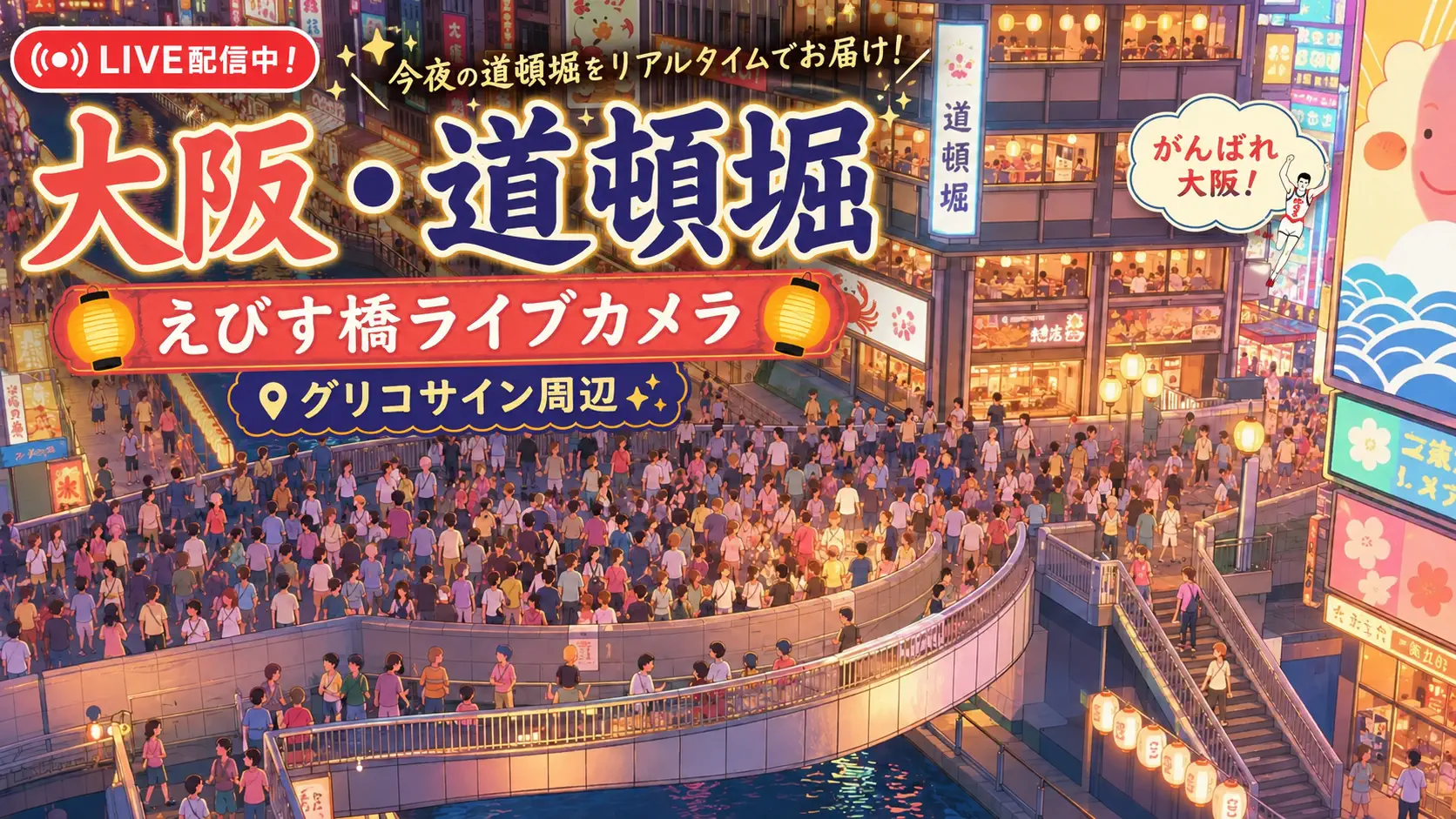
Osaka moves on axes. Midōsuji runs south toward Namba and north toward Umeda like a civic spine; Shin-Midōsuji extends that ambition across the Yodo River toward Shin-Osaka and the Kansai hinterland. Officially National Route 423, the elevated corridor in Kita Ward is one of the city’s great traffic arteries — and this live camera watches it face north, with the Shin-Yodogawa Bridge complex nearby and Osaka Metro Midōsuji Line trains threading beneath the road deck. It is infrastructure television: cars, trucks, buses, and subway glints in one stacked cross-section of Kansai urbanism.
About This Live Camera
The stream is fixed on a segment of Shin-Midōsuji near the Yodo River crossing — a vantage where elevated expressway geometry, bridge structure, and periodic rail movement combine. Osaka City traffic cameras (and syndicated YouTube relays) typically offer high-angle views optimized for congestion monitoring rather than cinematic tourism; treat the feed as a mobility dashboard you can read like weather.
When active, you see continuous vehicle flow, lane changes, rush-hour stacking, and occasional slowdowns during incidents or construction. The camera does not pan; drama arrives through volume, light, and the contrast between road speed above and train pulse below.
What You Can See
Primary subject is multi-lane elevated highway traffic on Route 423 — private cars, taxis, delivery vans, highway buses, and heavy trucks. Look for the Shin-Yodogawa Bridge (新淀川大橋) structure where road and rail share engineering heritage: the bridge carries road decks flanking a central Osaka Metro Midōsuji Line section across the Yodo River between Kita and Yodogawa wards.
Below or adjacent to the viaduct, you may catch Metro trains in red/white Midōsuji livery — Osaka’s busiest subway line linking Esaka, Shin-Osaka, Umeda, Hommachi, Namba, and Tennoji. The Yodo River itself may appear as a horizontal band depending on zoom — a river that drains Lake Biwa and exits toward Osaka Bay, defining the city’s northern hydrology.
Skyline glimpses toward Umeda or Shin-Osaka direction can appear on clear days; night views turn the corridor into light trails if exposure settings allow.
Location
This camera sits in Kita Ward, Osaka, on the north side of central Osaka near the Yodo River — coordinates roughly 34.71°N, 135.50°E. Kita is the ward of Umeda/Osaka Station hub, wholesale districts, and the northern extension of Midōsuji boulevard culture. Shin-Midōsuji begins near Umeda/Shin-Osaka logic and crosses the river toward Yodogawa and Suita.
The location is Honshu urban core — not waterfront Minami glamour but the logistics and commute face that keeps Osaka fed and staffed. Nearby landmarks include Nishinakajima-Minamigata Station (Midōsuji Line), Shin-Osaka shinkansen access to the north, and the dense mixed-use blocks of Nishinakajima.
History
Shin-Midōsuji’s story is twentieth-century Osaka ambition interrupted by war. Planning for a road-rail combined crossing of the Yodo River began in the 1920s–1930s alongside Osaka Metro Midōsuji Line development — part of second-phase city planning to extend Midōsuji north as population surged. Substructure work on Shin-Yodogawa Bridge completed around 1939, then construction halted amid wartime material shortages.
Work resumed in the 1960s, spurred partly by Tokyo Olympics-era infrastructure momentum and Shinkansen approach needs. The railway and upstream road deck opened in 1964; the downstream road deck followed in 1970 ahead of Expo ’70 in Suita — Osaka’s global coming-out party. Route 423 received national highway designation in 1982, cementing Shin-Midōsuji as a federal artery, not only a city boulevard.
The bridge’s Langer arch railway span and flanking steel girder road decks embody Showa engineering — functional, double-decked, and still heavily used daily. Maintenance and lane restrictions in the 2020s remind viewers that even heroic infrastructure requires continuous repair.
Why Watch
Because Osaka is often explained through Dotonbori neon and Osaka Castle postcards, while its real pulse is elevated roads and subway layers. This camera shows how Kansai commutes actually move — the north-south pressure between bedroom communities, Shin-Osaka bullet trains, Umeda offices, and southern commercial wards.
Traffic enthusiasts study merge behavior and rush patterns; urban planners observe dependency on Route 423 when incidents ripple delays across Kita and Yodogawa. Remote viewers waiting on Osaka trips use the feed to internalize the city’s vertical stacking — road above, Metro below, river beside.
Daily Life
Shin-Midōsuji carries commuter cars from northern Osaka and Toyonaka/Suita directions toward Umeda employment centers, plus logistics traffic serving wholesale and retail networks. Weekday mornings push north-to-south and reverse in evening — exact dominant direction depends on camera orientation (this feed faces north, so watch how congestion pools toward river crossing approaches).
Midōsuji Line riders below experience the same city differently: air-conditioned cars, station jingles, station-area konbini stops. Truck drivers above carry produce toward central markets. The corridor never fully sleeps — late-night freight and early airport-bound taxis appear before dawn.
Best Time of Day
- Weekday morning rush (7:30–9:00): peak volume and slowdown episodes
- Evening rush (17:00–19:00): return commute stacking
- Midnight–4:00: lighter flow; maintenance convoys possible
- Clear midday: best for seeing bridge structure and train glimpses
Rain reduces speed but increases accident-watch interest; Observe how Japanese drivers adjust following distances — culturally distinct from many Western feeds.
Best Seasons
Spring brings comfortable visibility and school-trip season traffic. Summer adds obon-adjacent leisure travel and typhoon-related schedule caution — watch for sudden flow drops when warnings issue. Autumn often delivers crisp air after typhoon exits. Winter is mild by Hokuriku standards but can show occasional icy elevated deck news when rare cold snaps hit Kansai.
Holiday peaks: Golden Week, Obon, and New Year produce atypical car volumes — fewer commuters, more intercity leisure.
Events
Major events ripple through Route 423 without closing the camera: Tenjin Matsuri (July) and Osaka Marathon (late November/early December in many years) alter traffic patterns citywide. Expo City and Expo ’70 Park events in Suita draw north-side approach traffic. Baseball nights at Kyocera Dome and sumo at EDION Arena Osaka shift evening flows toward Minami, affecting Midōsuji family routes.
Bridge inspection and repair windows — often overnight lane restrictions — may appear as unusual cone patterns or single-file traffic on the feed; Osaka City publishes construction notices on official pages.
Getting There
To view the corridor in person: Midōsuji Line Nishinakajima-Minamigata or Shin-Osaka stations place you near the river crossing; walking to riverbank parks offers ground-level views of Shin-Yodogawa Bridge. JR Shin-Osaka connects to Tokaido/Sanyo Shinkansen for intercity arrivals.
To use the road: Route 423 connects Umeda area toward Ikeda, Minoo, and Kyoto Prefecture segments beyond — navigation apps essential due to elevated interchanges. Driving central Osaka requires familiarity with toll and expressway feeder networks; many visitors instead ride Metro and JR.
The live camera itself is not a public viewpoint — it is a traffic monitoring perspective — but the bridge and river walkways are accessible on foot.
Interesting Facts
- Shin-Midōsuji is National Route 423, southern terminus near Umeda connecting toward Kyoto Prefecture via multiple segments.
- Shin-Yodogawa Bridge combines road decks and Midōsuji Line rail with a Langer arch central span — rare combined typology.
- Construction paused 1939–1960s due to war and funding — substructure sat idle for decades.
- 1964 rail/upstream road opening aligned with Tokyo Olympics-era infrastructure push; 1970 downstream road aligned with Japan World Exposition in Osaka.
- Midōsuji Line is often called Osaka’s primary subway axis, paralleling the famous Midōsuji boulevard below in central segments.
- The Yodo River connects Lake Biwa drainage to Osaka Bay, making this crossing a hydrological choke point as well as traffic one.
Stacked City: Reading Layers on One Screen
Use this feed to practice layer counting: top layer — rubber and diesel on elevated national route; middle — bridge steel and noise barriers; bottom — Metro electric sets in red and white; side — river freight barges occasionally. When a train passes beneath road traffic, you are seeing 1960s combined-bridge planning still executing its brief in real time.
Sound is usually muted on syndicated streams — compensate by watching vehicle density waves: a slowdown propagates backward like a shockwave; release at merge points looks like a dam breaking. Compare weekday and weekend midday: Osaka does not empty on Saturdays; retail and leisure traffic replaces office commuters.
Osaka North Gate
Shin-Midōsuji is how much of Kansai enters Osaka proper — from Kyoto direction, from Itami airport buses, from Suita and Toyonaka suburbs. Pair this cam with Hankyu Osaka-Umeda Station for pedestrian hub energy, Dotonbori Glico Sign for southern nightlife contrast, or Osaka International Airport (Itami) for aviation approach context to the same urban region.
Nearby Live Cameras
See more Kansai movement at Hankyu Osaka-Umeda Station, Dotonbori Glico Sign, and Osaka International Airport.
Frequently Asked Questions
What is Shin-Midōsuji?
The northern extension of Osaka’s Midōsuji corridor as National Route 423 — an elevated major road linking central Osaka toward Shin-Osaka and beyond.
Can I see trains on this camera?
Yes — Osaka Metro Midōsuji Line trains often pass on the rail section associated with Shin-Yodogawa Bridge near this Kita Ward segment.
Which way does the camera face?
The feed faces north along Shin-Midōsuji toward the Yodo River crossing and Shin-Osaka direction.
Is this the same as Midōsuji boulevard?
Related but distinct: Midōsuji is the famous central boulevard; Shin-Midōsuji (Route 423) extends the axis north across the river on elevated structure.
When is traffic worst?
Weekday morning and evening rush hours typically show heaviest congestion; typhoon warnings can also disrupt normal flow patterns.
Why was Shin-Yodogawa Bridge construction delayed?
Substructure finished pre-war, but full completion waited until the 1960s–1970 due to wartime interruption and later Expo/Shinkansen-era restart.