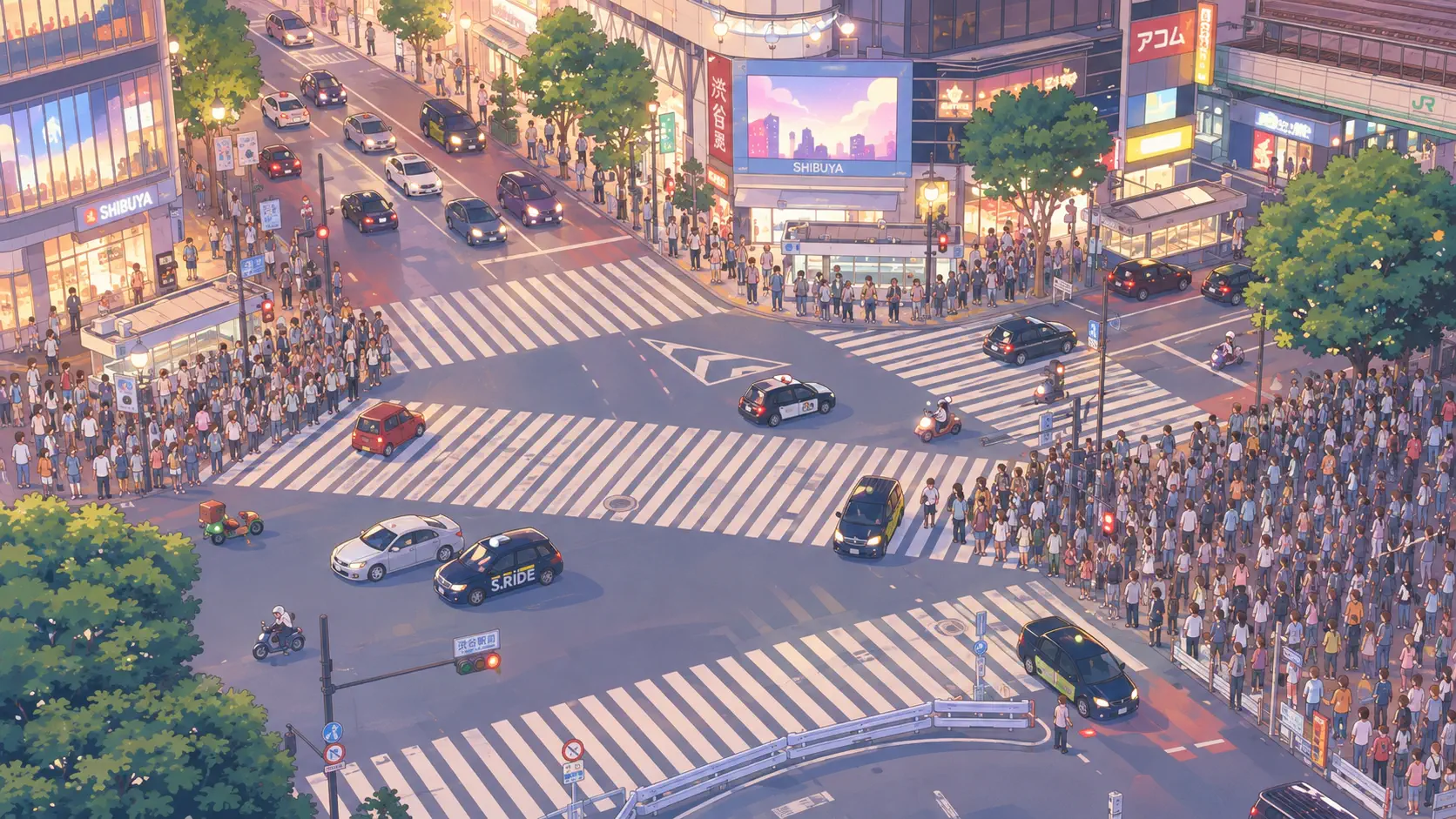
Tokyo’s traffic is not only Shibuya scrambles. At Yoga in Setagaya, the Metropolitan Expressway (首都高速, Shuto Expressway) exhales from elevated lanes toward the Tomei Expressway and the prefectures beyond — Kanagawa, Shizuoka, and the long road to Nagoya. A camera on Setagaya Business Square watches Route 3 Shibuya Line toll gates, the Tokyo Interchange, and, on clear days, the green bulk of Kinuta Park to the right. It is infrastructure poetry: toll barriers, tail lights, and residential towers sharing one frame.
About This Live Camera
The feed is mounted at Setagaya Business Square (世田谷ビジネススクエア) in Yoga 4-chome, operated in public-facing partnerships often associated with local cable providers such as iTSCOM. The angle favors elevated expressway geometry — eastbound lanes toward Shibuya and central Tokyo, westbound transitions onto Tomei, and the Yoga main-line toll plaza where ETC and cash lanes once competed, now overwhelmingly electronic.
Sources describe the stream as near-continuous (24/7) when healthy — valuable for night logistics watchers and weather checkers alike. No PTZ drama: one patient urban vista where Japan Standard Time stamps sometimes appear on overlay graphics.
What You Can See
Tollgate canopies and lane dividers anchor the foreground. Passenger cars, trucks, and buses pulse in commute waves — thicker westbound Friday evenings and eastbound Sunday nights when U-turn holiday traffic returns. The Tomei Expressway Tokyo IC stack appears as layered ramps merging and splitting. Kinuta Park (砧公園) shows as tree mass — famous for cherry blossoms and wide lawns — beyond the interchange.
Background towers mark Setagaya’s mixed residential-office skyline. On rainy days, wipers and spray dominate; on ** typhoon** approach, empty lanes tell their own alert story. Clear winter mornings may glimpse Mount Fuji from some Tokyo southwest vantages — worth a pixel hunt when air scrubs clean.
Location
Yoga sits in Setagaya Ward, Tokyo, near 35.626°N, 139.630°E, at roughly 34 metres elevation — a southwestern inner suburb between Shibuya and Futako-Tamagawa. Tokyu Den-en-toshi Line Yoga Station lies within walking distance, linking to Shibuya in about 10 minutes. National Route 246 and Kanpachi-dōri (Ring Road No. 8) intersect nearby, making Yoga a knot where surface streets feed elevated speed.
Kinuta Park occupies former Japan Ground Self-Defense Force land — one of Setagaya’s largest green spaces. Todoroki Valley and Setagaya Art Museum hide in residential folds south of the expressway — calm counterweights to toll-lane velocity.
History
The Shuto Expressway network arose from 1950s–1960s reconstruction and 1964 Olympics mobility pushes — elevated radial routes piercing dense Tokyo to move freight and commuters without waiting for subway expansion. Route 3 Shibuya Line runs 11.7 km southwest from the Inner Circular Route in Meguro to Yoga, where jurisdiction handoffs to Central Nippon Expressway’s Tomei system occur.
Yoga tollgate history tracks Japan’s shift from manual cash collection to ETC universalization in the 2000s — gates that once stopped every vehicle now filter electronic tags at speed, yet congestion persists at merge points because physics, not payment method, sets capacity. The corridor also carries Asian Highway 1 designation — Tokyo to Istanbul on paper, Shizuoka tonight in practice for weekend drivers.
Setagaya Business Square, a 1990s commercial complex, became a sensible camera perch — height, power, and community broadcaster relationships without building new poles on the expressway itself.
Why Watch
Because Tokyo traffic is a weather and calendar instrument. Commuters preview Friday outbound jams before leaving Shibuya offices. Truckers and logistics fans study night freight patterns. Urbanists compare elevated expressway impact on neighborhoods with Kinuta Park green relief in one glance.
Contrast with Shibuya Crossing pedestrian chaos or Haneda Airport bay aviation — three Tokyo movement dialects.
Daily Life
Weekday mornings show eastbound surge — cars entering central Tokyo job belts. Midday eases slightly; afternoon kindergarten traffic appears on surface roads below frame edges. Evening westbound builds as residents flee toward Yokohama and Tama bedroom communities or hakone weekend starts. Delivery trucks and moving vans peak on Saturday mornings.
Rainy season turns wipers into metronomes; obon and golden week produce legendary shin-gō (heavy traffic) visible as stationary light strings. Local Yoga residents live with constant road hum — the cam is their ambient soundtrack externalized. Setagaya Business Square workers take smoke breaks overlooking the same lanes commuters curse — office tower and expressway as paired monuments to 1960s–90s suburban Tokyo growth.
Below the elevated deck, Tokyu Den-en-toshi Line trains shuttle students and shoppers; above, Route 3 carries cars that skipped rail. Yoga is where two Tokyo speeds stack vertically — neither cancels the other, and the camera catches both indirectly through traffic rhythm tied to train timetables off-screen.
Best Time of Day
- Weekday morning rush (7:30–9:30): Eastbound density toward Shibuya and central Tokyo.
- Midday: Baseline flow — good for studying normal capacity.
- Friday evening (17:00–21:00): Classic outbound leisure and exodus waves toward Tomei.
- Sunday evening: Return traffic eastbound — holiday end stress test.
- Late night: Truck-heavy, eerie light trails on long exposure if the encoder allows.
Always interpret in JST.
Best Seasons
Golden Week and Obon dominate congestion calendars — watch before driving Tomei. Cherry blossom weekends pull families toward Kinuta Park, indirectly swelling local surface traffic even when expressway lanes look stable. Typhoon days show dramatic lane emptiness or pre-storm rushes. Winter dry air improves visibility toward park trees and distant towers; summer heat shimmer blurs mid-frame.
New Year has unique patterns — hatsumōde local trips plus outbound hometown departures stacking unpredictably.
Events
No festival occurs on the toll lanes themselves, but Kinuta Park events — ** cherry viewing**, sports tournaments — ripple into merge behavior. Tokyo Marathon and major Shibuya concerts indirectly depress or spike adjacent hours. GW opening of Fuji and Izu routes makes Yoga a national bottleneck barometer.
When ETC system maintenance is announced nationally, toll plaza behavior changes — rare but visible.
Getting There
Tokyu Den-en-toshi Line to Yoga Station, exit toward Setagaya Business Square. Kanpachi and Route 246 buses pass nearby. Drivers from Shibuya enter Route 3 southwestbound; from Tomei, Tokyo IC feeds eastbound into Shuto.
Cycling to Kinuta Park avoids tolls entirely — the cam shows what you skip.
Interesting Facts
- Shuto Expressway total length exceeds 300 km across the Greater Tokyo mesh — Route 3 is one radial artery among many.
- Yoga marks the western terminus of Shuto Route 3 before Tomei intercity pricing begins.
- Kinuta Park cherry trees draw hanami crowds without needing Ueno density.
- The Den-en-toshi Line runs under portions of Route 3 — subway and expressway stacked in section.
- Setagaya is Tokyo’s most populous ward by residential count — Yoga is quiet by ward standards yet fully wired into megacity flow.
ETC Ballet at the Tollgate
Watch how modern ETC lanes rarely stop — deceleration waves instead of full halts. When a lane closes for maintenance, merge turbulence propagates backward within minutes — textbook shockwave traffic theory visible from a sofa. Cash-era nostalgia survives in signage and occasional manual booths, but the cam documents Japan’s all-electronic commuting present.
Kinuta Green vs. Concrete Ribbon
The park’s tree mass right-of-frame is not decoration — it is 1950s land-return victory over military use, now leisure for a million nearby residents. Compare cherry season canopy density with winter bare branches framing the same concrete — seasonal mood swing without moving the camera. Urban planners use exactly such juxtapositions when arguing green buffer value near interchanges.
Hanami weekends send families through Yoga exits carrying blue tarps — the cam may not show picnic blankets directly, but outbound Saturday lane loading betrays the ritual. Setagaya Ward Natural Observation Forest adjacent to Kinuta adds birding culture rarely associated with toll plazas, yet both share the same airspace under the Shuto deck roar.
Reading Congestion Color
Tail-light red versus headlight white ratio tells stories after dark: stationary red dominance means shin-gō already formed; balanced flicker means flow near capacity but moving. Rain doubles perceived congestion because brake lights multiply reflections. Learn one Friday pattern and you can forecast Tomei pain for friends driving to Atami without opening a navigation app — old-school Tokyo literacy the cam still teaches.
Nearby Live Cameras
More Tokyo movement: Shibuya Crossing for pedestrian scramble physics, Haneda Airport for bay-side aviation, Chuo Line Hino for suburban rail tempo west of central Tokyo.
Frequently Asked Questions
What is the Metropolitan Expressway?
Japan’s Shuto Expressway — a toll elevated urban highway network serving Greater Tokyo, distinct from intercity systems like Tomei.
Can I see Shibuya from this camera?
Not directly — this is Yoga, Setagaya, southwest of Shibuya, focused on Route 3 and Tomei connection.
Is Kinuta Park visible?
Yes — typically to the right in the distance, a large green space known for cherry blossoms.
Does the stream run 24 hours?
Sources indicate near-continuous operation when the broadcaster is healthy — among the more reliable Tokyo traffic feeds.
Why is Yoga a traffic bottleneck?
It merges Shuto Route 3 with Tomei Expressway and absorbs Setagaya–Shibuya commuter flows — funnel geometry plus holiday exodus.
Who operates the camera?
Commonly associated with iTSCOM and Setagaya Business Square community broadcasting — not a government traffic agency feed.